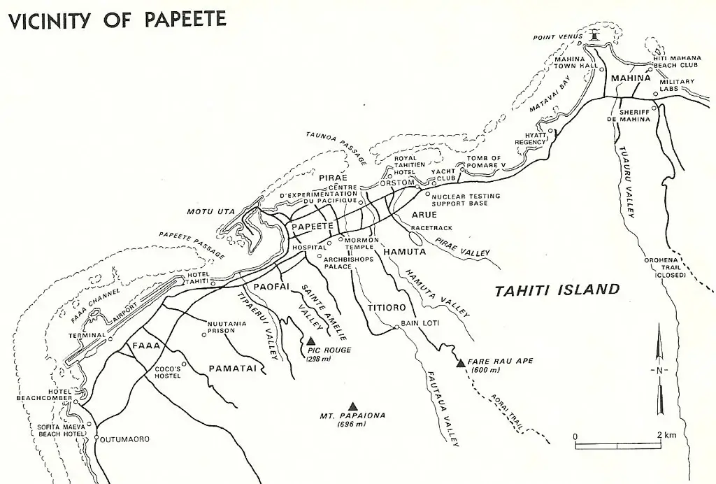
Spatial analysis and visualization are essential skills for many fields and applications, such as urban planning, environmental management, disaster response, and tourism. However, creating and interpreting spatial data can be challenging, especially when dealing with large and complex datasets. That’s where a vicinity map comes in handy. A vicinity map is a type of map that shows the area around a specific location and its important features, such as roads, buildings, parks, and landmarks. It helps people to locate themselves and other points of interest and to navigate in unfamiliar areas. A vicinity map is usually more detailed than a regular map, but less detailed than a street map. In this article, we will explore how a vicinity map can be used as a powerful tool for spatial analysis and visualization, and how to create one using various methods and tools.
Vicinity Map- A Powerful tool
A vicinity map can be used as a powerful tool for spatial analysis and visualization in many ways. Here are some examples:
- A vicinity map can help to identify and measure the spatial patterns and relationships of various features, such as population density, land use, traffic flow, and environmental quality. For instance, a vicinity map can show how the proximity to a park affects the property value and the air pollution level in a neighborhood.
- A vicinity map can help to compare and contrast the spatial characteristics and trends of different areas, such as regions, cities, or neighborhoods. For example, a vicinity map can show how the urbanization and the economic development vary across different parts of a country or a continent.
- A vicinity map can help to communicate and present the spatial information and analysis results to different audiences, such as policymakers, stakeholders, or the general public. For example, a vicinity map can show the impact and the benefits of a proposed project or a policy change on the surrounding area and its features.
Tools to create Vicinity Map
A vicinity map is a type of map that shows the area around a specific location and its important features, such as roads, buildings, parks, and landmarks. There are many tools that can help you create a vicinity map, depending on your needs and preferences. Here are some examples:
- Canva:
This is a free online map maker that lets you create and customize maps with ease. You can choose from various map templates, add text and icons, and change the color scheme. You can also download or share your map online
- Scribble Maps:
This is an online map generator that allows you to import geodata, draw, annotate, and conduct analysis on your maps. You can also share your maps with friends, embed them on websites, or create images or PDFs
- EdrawMax:
This is a location map software that helps you create professional-looking maps with various symbols and templates. You can also edit and format your maps, add labels and legends, and export them to different formats
These are just some of the tools that can help you create a vicinity map. You can also explore other options, such as Google Maps, ArcGIS, or QGIS.
Conclusion
In conclusion, a vicinity map is a type of map that shows the area around a specific location and its important features, such as roads, buildings, parks, and landmarks. It helps people to locate themselves and other points of interest and to navigate in unfamiliar areas. A vicinity map can be used as a powerful tool for spatial analysis and visualization, as it can help to identify and measure the spatial patterns and relationships of various features, compare and contrast the spatial characteristics and trends of different areas, and communicate and present the spatial information and analysis results to different audiences. There are many tools that can help you create a vicinity map, depending on your needs and preferences. A vicinity map is a useful and versatile map that can enhance your spatial understanding and decision-making.